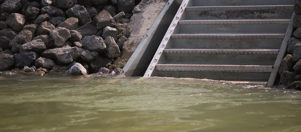
Water Levels
viadonau operates an extensive network of measuring devices along the Danube which enable the continuous recording of water levels. Water levels at gauging stations which are relevant for navigation as well as low water forecasts are updated hourly and published on the DoRIS website as an aid to navigation.
viadonau utilises advanced measurement systems (ADCP ultrasound technology, hydrometric measuring blades) to monitor discharge at regular time intervals, especially during periods of low or high water. The evaluation of discharge measurements, and the subsequent integration of water levels into current discharge data, is used as the basis for forecasting and flood management.
Only with the help of such modern and efficient measurement methods is it possible to ensure the high quality of data values for utilisation by the respective federal states. In doing so, hydrological analysis makes a valuable contribution to flood protection, flood alarm and the optimisation of forecasting models.
Not only are the water levels and the amount of sediment in the surface water of bodies of flowing water recorded, but data relating to the adjacent groundwater is also monitored to ensure the highest possible quality. The temperature of surface water and groundwater is also continually monitored at several different measuring points.
In order to carry out the recording of the status of water, a measurement network specially adapted to the requirements is required. This network is obliged to conform to the relevant laws and regulations. Moreover, it must also adhere to the especially high standards and regulations as defined by the Austrian Hydrographic Office.
Related links:
