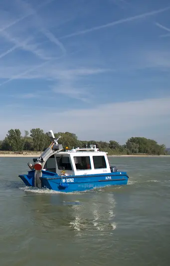
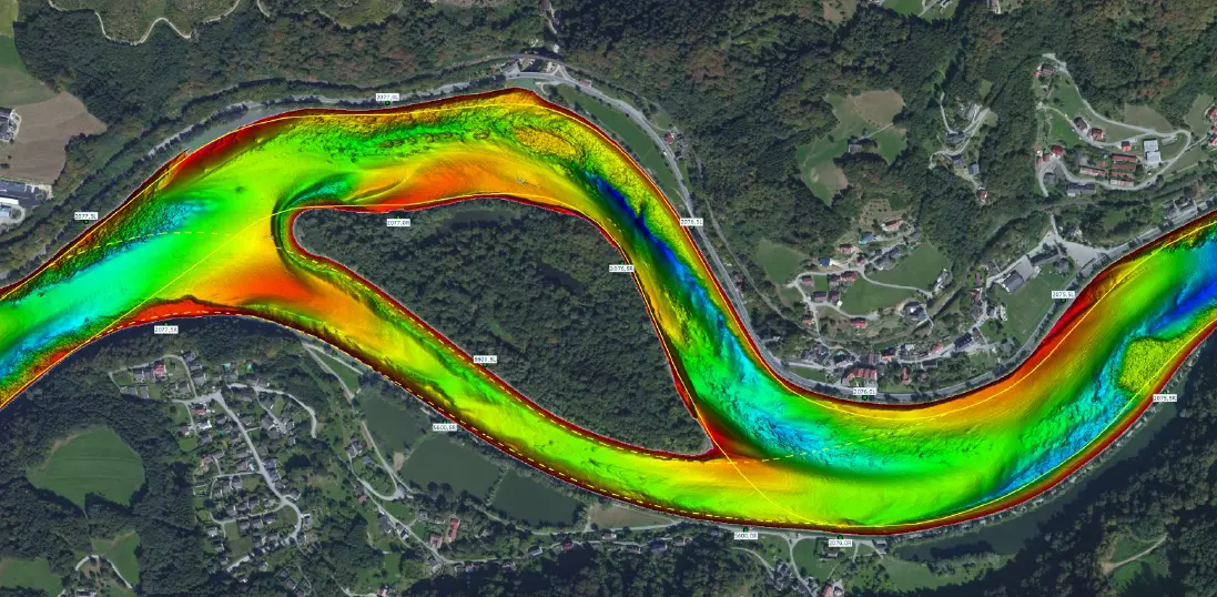
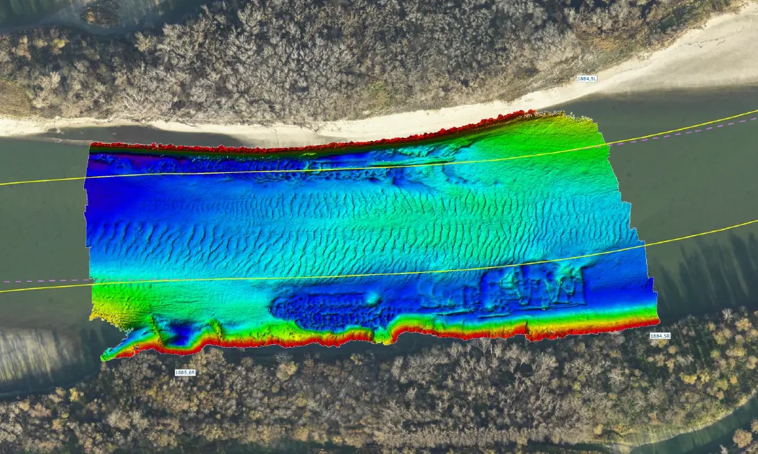
Knowledge of the character and form of the riverbed, especially on the two free-flowing sections of the Austrian Danube waterway (Wachau and east of Vienna), is a prerequisite for safe navigation on the river. With its modern measuring vessels, as well as a state-of-the-art measurement system (single-beam and multi-beam sonar devices), viadonau carries out regular riverbed surveys. By using a shallow water multi-beam sonar it is possible to capture a complete and uninterrupted image of the riverbed.
In addition to riverbed surveying, the surveying of river banks, floodplains and flood-retention areas (lat. retenire = hold back) together with all relevant objects also fall within viadonau's scope of responsibility. These tasks are numerous and include:
- levelling controls at special survey points on the Danube, March and Thaya (which is the basis for all riverbed surveys),
- fixed point and hectometre supplementary measurements, staking out of water gauges,
- location and elevation plans (terrestrial) e.g. for flood protection structures, backwaters, biotopes and gravel structures,
- water level measurements at high and low water as well as
- structural measurements (e.g. bridges and locks).


