Geo information
Customised and comprehensive information services are a central task of viadonau. The geoinformation experts are therefore dedicated to providing information that is as accurate, precise and customised as possible.
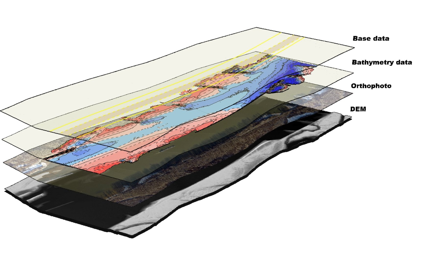
The viadonau team for Geoinformation is specialisesd in the processing and analysis of survey data and plays a central role in ensuring a modern waterway. Precise bathymetric and topographic data sets are created by analysing echo sounder and land survey data. This data provides the basis for navigation information systems (River Information Services, IENC) and enables safe and efficient large-scale navigation. The team's core tasks include the timely preparation of data for the daily operation of the waterway as well as complex analyses and visualisations. With an in-house WebGIS and mobile GIS applications, the team offers flexible solutions for a wide range of projects. In addition, open data is published in accordance with the Inspire Directive and the Information Reuse Act to ensure broad usability.