Interactive operational map Danube-March-Thaya
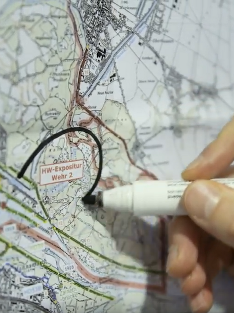
During flood service and in the event of ship accidents or similar incidents various authorities and emergency services (e.g. shipping inspectorate, lock supervision, fire brigades, etc.) work together closely. Currently, the involved parties sometimes use different operational maps as basis for the planning and execution of a mission. The maps' backgrounds and especially the representation of all planar and point- or line-shaped objects can vary considerably. This includes for example the presentation of evacuation zones, access points, hydraulic structures, underground pipelines, danger points, etc.
In 2017, viadonau thus started a project for the standardisation of these essential operation basics. An interactive map with all data relevant for a particular mission should be made available to authorised users on a web platform. The platform will offer the possibility of displaying selected information relevant for the respective mission in the map, of retrieving filed data (e.g. contact data) and of printing the map. The obvious advantages of a standardised map basis and of the standardised representation of relevant features in the maps go hand in hand with the possibility of taking into account different requirements of different emergency situations.
News and project status
In 2018, a catalogue of the linear, punctiform and planar map contents to be displayed was compiled together with all authorities and emergency services. In addition, a decision was made on the technical implementation of the interactive mission map: in the future, all mission-relevant data will be published for authorized users via a web map service on Open Data Austria (data.gv.at). Starting in 2019, all relevant content will be uploaded successively to the Web Map Service.
