"Recommended Track" in the Austrian Inland ENCs
New orientation aid for inland navigation on the Danube. With the introduction of the „recommended track“ in the Austrian Inland Electronic Charts (IENCs) a new service is available for captains with regard to navigation in the free-flowing sections of the Danube starting from June 2026 in order to optimise transport and traffic planing. The recommended track will be displayed for the free-flowing section in the Wachau (river-km 2037.8 – 1997.8) and East of Vienna (river-km 1920.6 – 1872.7) and will provide an additional orientation aid, to ensure an optimal use of the available fairway depths.
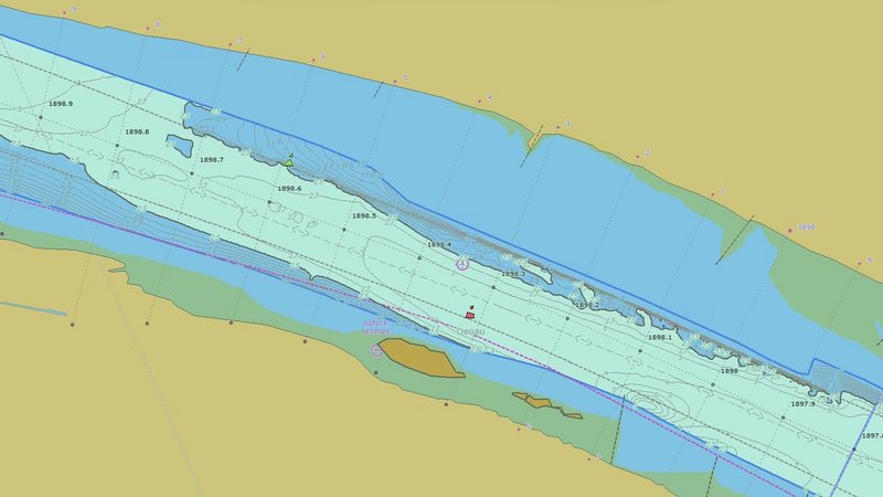
Ford of Regelsbrunn, source: IENC, viadonau
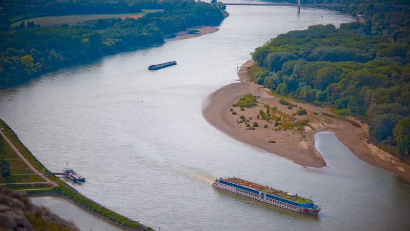
Photo: © viadonau/Andi Bruckner
Implementation of the „recommended track“ in Austria
In the Austrian inland ENCs, a "recommended track" is indicated, which represents the center line of the course of the deep channel. Deep channel refers to that area of the marked fairway which, based on current riverbed measurements, shows the greatest navigable depths at regulation low water level (RNW 2020) and which has the width required for a 4-unit convoy travelling downstream. The respective width of the fairway is dependent on the river bend radii involved (between 40 and 80 meters).
Latest results of riverbed measurements serve as a basis
The display of the recommended track is based on the location maps published by viadonau for currently relevant shallow areas. Whereas the depth data for the free-flowing sections is updated annually, riverbed measurements for relevant shallow sections are carried out on a monthly basis.
More safety in challenging river sections
The recommended track serves as an additional orientation aid for the navigation sector by indicating the areas with most favourable nautical conditions. As passing and overtaking within the confines of the deep channel is generally not possible, vessels in accordance with the Waterway Traffic Act should wait at a suitable location until it is possible to proceed through a shallow area using the deep channel of the main fairway.
The recommended track extends the digital information services for inland navigation and contributes to increasing the safety and efficiency of inland waterway transport on the Austrian Danube.
